Meteorologists recreated "satellite images" of the Normandy landing and found that the weather almost changed the course of the entire operation

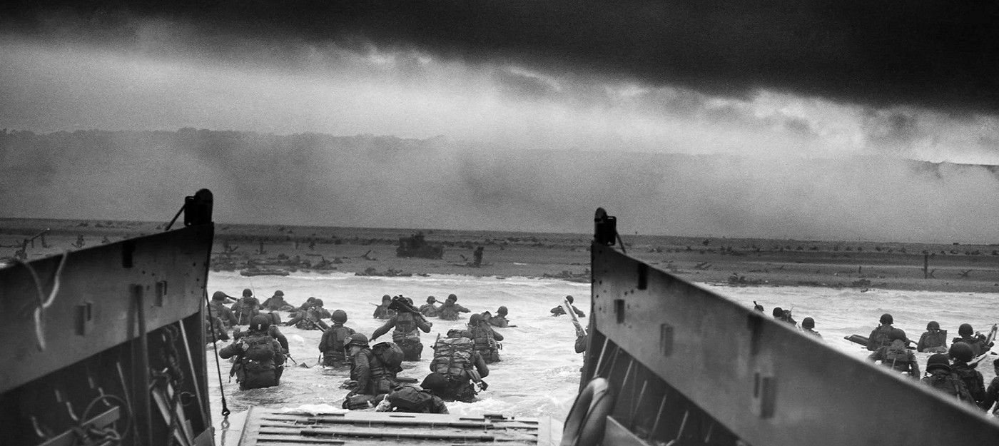
Scientists from the University of Reading and the European Centre for Medium-Range Weather Forecasts (ECMWF) have recreated satellite images that never physically existed back in 1944. Using modern weather data reanalysis techniques, researchers showed just how narrow the window of good weather was on the morning of June 6, 1944, when Operation Overlord began.
Three separate teams of meteorologists worked independently on forecasts for the Allied invasion of Normandy. Storm fronts battering Western Europe in 1944 left military command with only four possible dates for the operation between May and July, each carrying 13-to-one odds against success.
So, meteorologically, D-Day was bound to be a gamble against the odds.
Reanalysis is a method of synthesizing historical weather data that fills in gaps between real measurements to reconstruct a fuller picture of past weather conditions. The U.S. National Oceanic and Atmospheric Administration (NOAA) calls this process "gridding" – it's how scattered archival records get turned into one complete image.
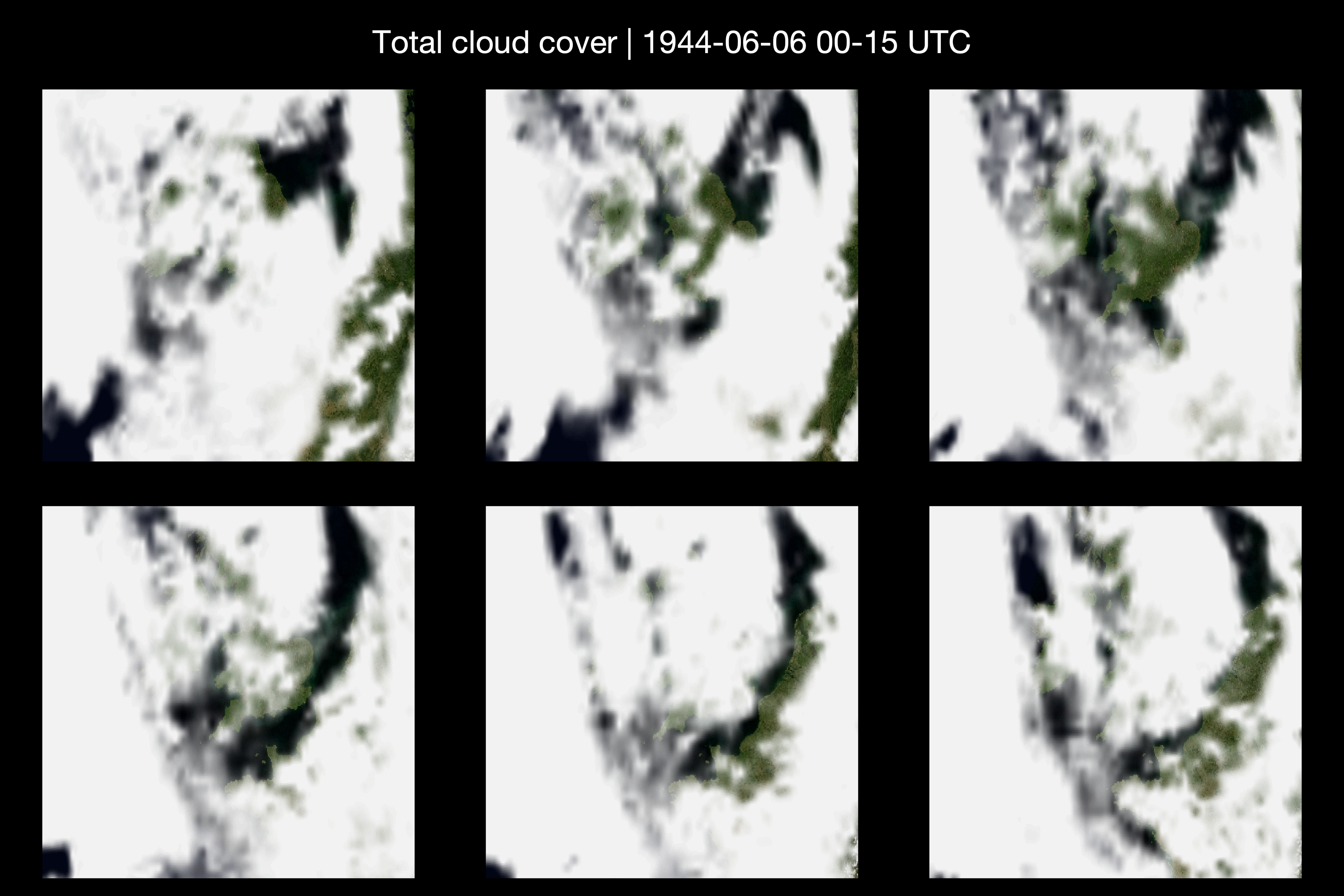
Climate scientist Ed Hawkins, who worked on the reconstruction alongside colleagues from the ECMWF, used this same technology to produce what could be called satellite images that never physically existed, since satellite meteorology wouldn't come along for decades.
Troops set off into a sky that was still breaking up after days of storms into a narrow window of better weather. A day earlier, or a few hours either way, and the weather could have stopped the invasion in its tracks, and changed the outcome of the war.
The images show a high-altitude view of the clouds stretching across the British Isles and over the English Channel toward northern France on June 6, 1944. The reconstructions clearly show cloud-free patches over southern England and northern France that proved critical to carrying out the operation.
Beyond powerful storms and rough seas, high winds and low-lying cloud cover directly above Normandy posed serious threats too. John Ross, author of "The Forecast for D-Day: And the Weatherman Behind Ike's Greatest Gamble," explained this.
The weather over Normandy contained too much cloud cover for Ike's [General Dwight D. Eisenhower's] greatest strategic asset, the Allied air forces, to effectively protect the landings from German armor, artillery and infantry reserves.
According to Ross, on the other candidate dates the winds would have been too strong for paratroopers to be deployed, who needed to hold bridges and crossroads further inland to keep German reinforcements from reaching the coast.
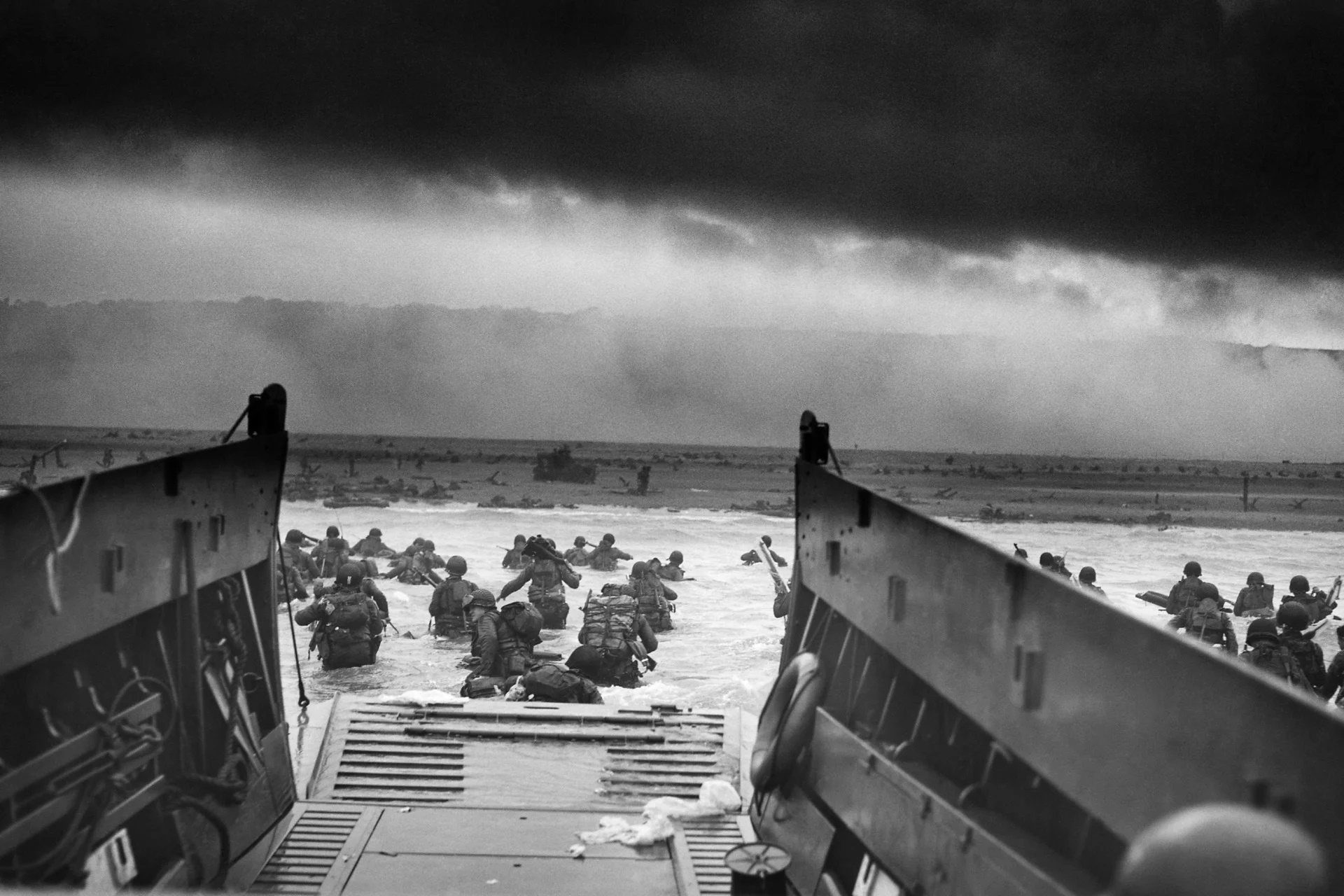
Checking the reconstructed images against data from the Copernicus Climate Change Service showed a strong match with historical weather reports from that morning. The first weather report on June 6 recorded mostly clear skies and a northwesterly wind, though ominous clouds were already gathering on the horizon, and conditions were somewhat less favorable than military planners would have liked.
The release of the new visualizations lined up with the debut of StudioCanal drama "Pressure," which came out in May 2026. In the film, Brendan Fraser plays General Eisenhower, sparring over weather forecasts with Royal Air Force meteorologist Captain James Stagg. Stagg is played by Andrew Scott, familiar to audiences for his role as Moriarty in BBC's "Sherlock."